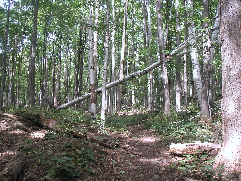
I hiked from km 29.9 on Map 13 of the Bruce Trail Reference, Ed. 25, past km 48.3 to Mississauga Road on Map 14. And the on the way back to Scotsdale Farm, I took the Terra Cotta and Great Esker side trails, for a total journey of approximately 43.1 km (26.8 miles). It was the first Saturday after the Labour Day long weekend, with an afternoon temperature of about 20 degrees Celsius. I encountered a fair number of short- and medium-distance hikers, many with dogs. The elevation changes were mild.
I try to knock off a 40-km day-hike once per week. That’s like carrying survival gear, food, and 3 and 1/2 liters of water while fast-walking the Boston Marathon in the woods, in areas that are often too rough to safely run. When you fall on the Bruce Trail, you’re likely to break your head open on a boulder or lose an eye on a stick, never mind the poison ivy . . . Once when I was moving too fast for the trail conditions, I slipped on a mossy boulder and fell on a sharp rock, partially severing a tendon in my finger, which might now never regain its full range of motion.
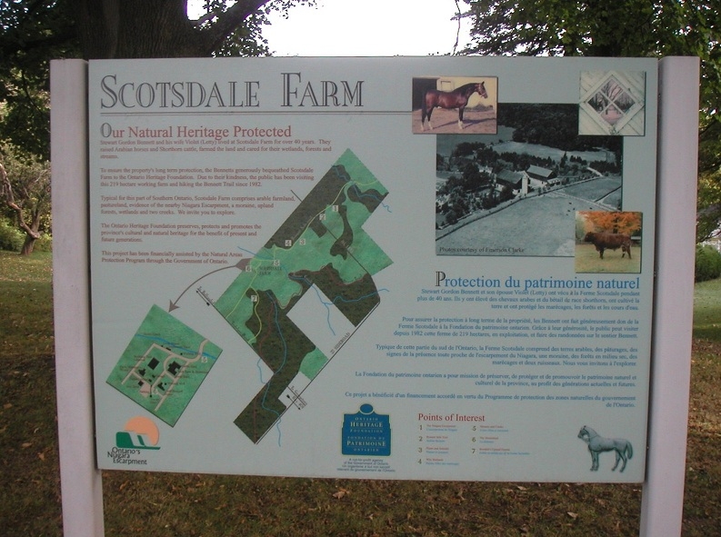
Here is a link to the Google Map showing the location of the parking lot on Scotsdale Farm: Map to Parking.
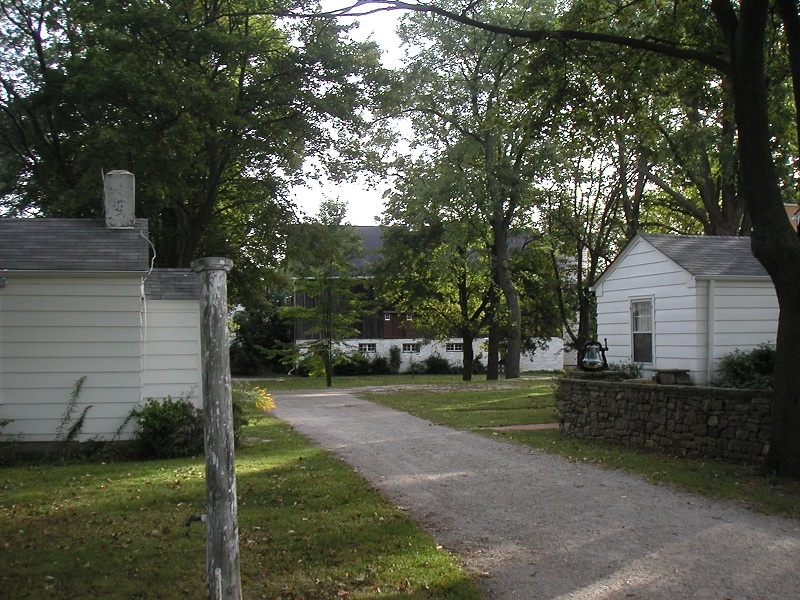
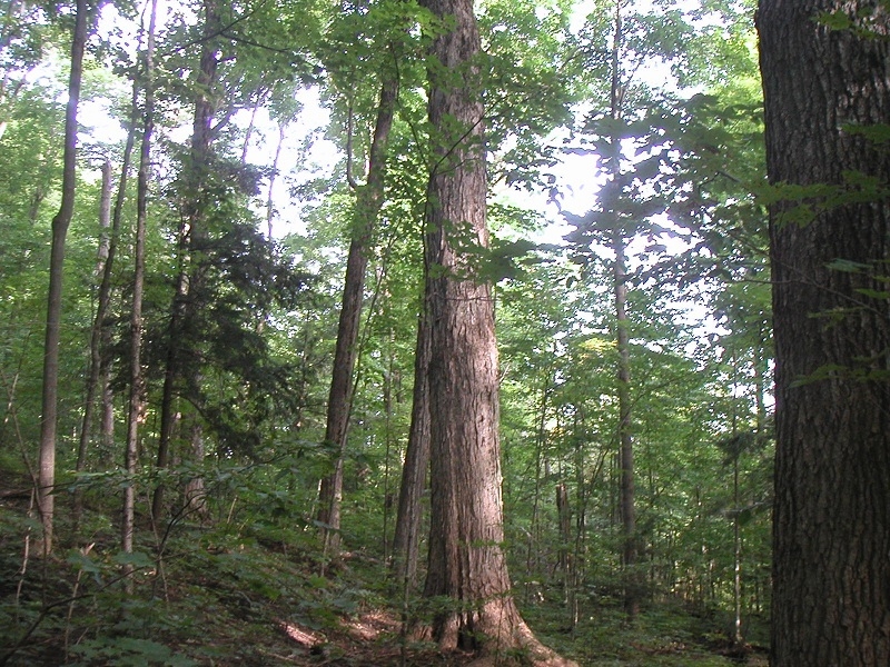
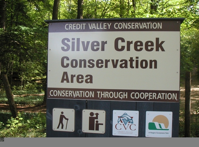
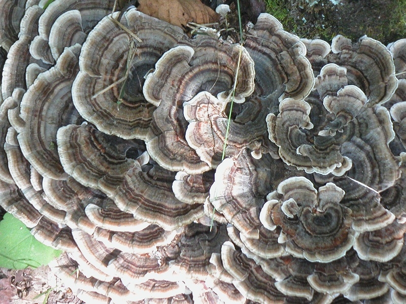
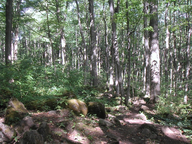
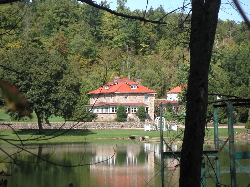
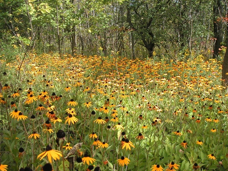
And here are a few photos:
